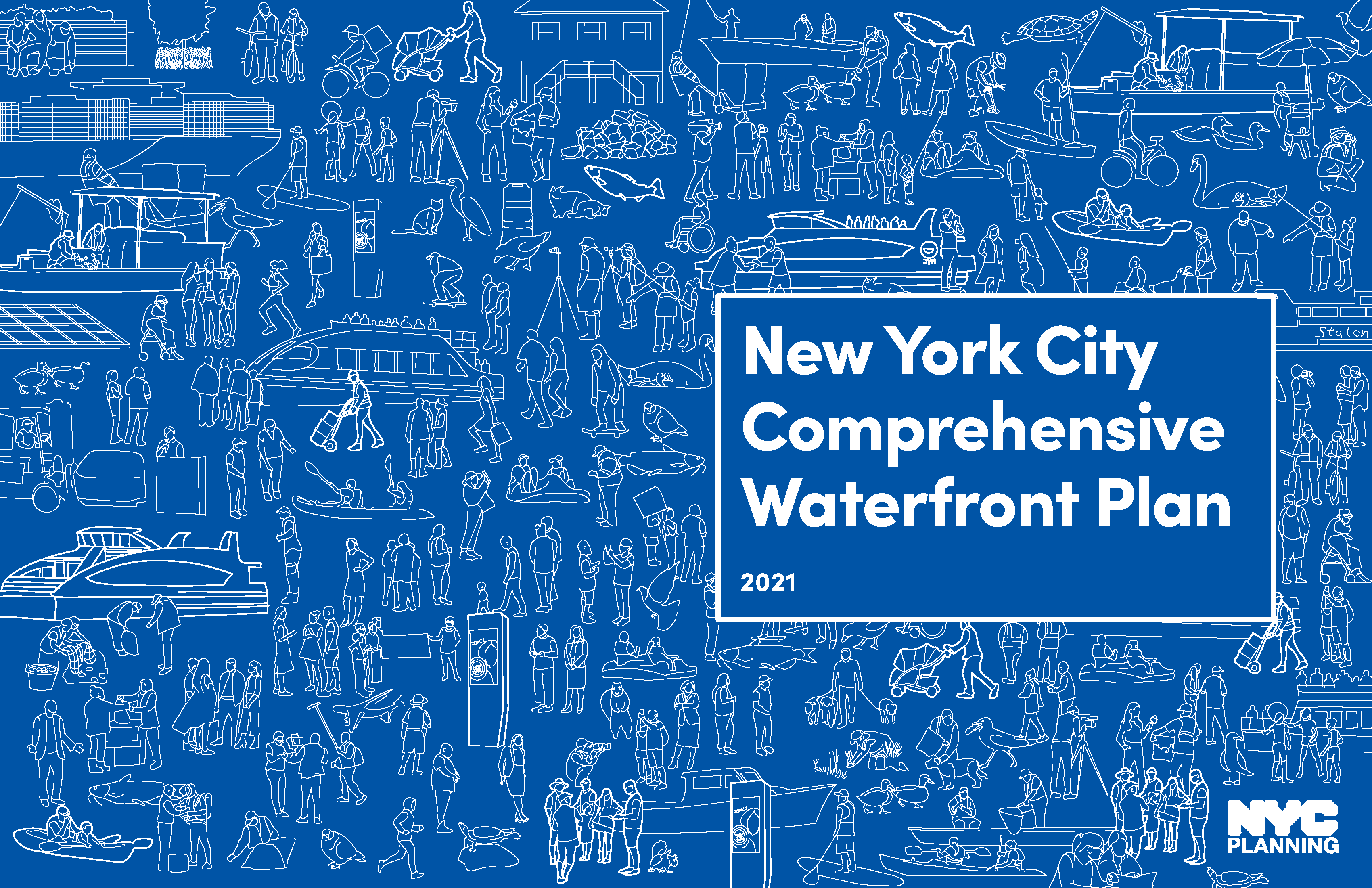


NYC Waterfront Illustrations
Designer @ Interboro Partners
06/2021 - 12/2021
The NYC Comprehensive Waterfront Plan outlines a 10-year vision for a more equitable, more resilient, and healthier waterfront for all New Yorkers.
The Plan is organized by six waterfront related topic areas: Climate Resiliency and Adaptation, Waterfront Public Access, Economic Opportunity, Water Quality and Natural Resources, Ferries and Governance. These illustrations serve as chapter dividers and represent ongoing projects, goals and strategies found within each topic area.
1. The six themes resurface in the Plan’s cover page and introduction divider which is a compilation of people, animals, watercrafts and tools.
2. The Climate Resiliency and Adaptation drawing represesents infrastructure investments in coastal areas, new housing for waterfront residents, and flood protections.
3. The Waterfront Public Access drawing represents public access expansion, new programming of public waterfront open spaces and good stewardship of public spaces on the waterfront.
4. The Economic Opportunity drawing represents a working waterfront involved in green technology and environmentally sustainable practices. It also shows diverse employment and career advancement opportunities for New Yorkers.
5. The Water Quality and Natural Resources drawing shows improved water quality throughout the five boroughs, protected ecosystems, and enhanced biodiversity of the natural waterfront.
6. The Ferries drawing represents the planned expansion of NYC Ferry to provide waterfront transportation for currently underserved neighborhoods.
7. The Governance drawing shows coordination, management and discussion about future public waterfront projects.
View the report at:
︎︎︎www.waterfrontplan.nyc